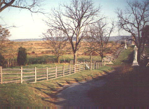
The Sunken Road marks the site of Lee's center at Antietam. An old farm lane that served as a shortcut around the town of Sharpsburg, countless wagons and livestock which trudged along this road eventually eroded away the path until it cut several feet into the earth. Presaging World War I trench warfare, the Sunken Road served as an excellent defensive position that ultimately saved Lee's center from penetration.
In addition to providing a trench-like fortification, the ground in front of the Sunken Road rises gently, shielding the defenders like the wall of a fort. Although the trench-like nature of the road is obvious and is typically described as the key to the strength of this position, the importance of the ground around the road is often overlooked. The presentations of this tour stop provide a detailed description of the ground, and how it affected the course of the battle.
Today, the Sunken Road only partly resembles its 1862 appearance. The eastern portion (that is, the segment of the road east of where it bends near Roulette's lane) is much more eroded away (up to several feet deeper) today than at the time of the battle. The western portion (that is, the segment of the road west of where it bends) is no longer sunken at all. This is most unfortunate, since there are no wartime photographs of the western portion of the road. In addition, the location of the critically important Piper Cornfield is now occupied by a battlefield park tour road and parking lot.
Since the Sunken Road is situated along the edge of the Antietam National Battlefield Park, the road can only be visited from the Confederate side; The ground over which the Union advanced is not accessible to the public.
See 3-D image of the Sunken Road Region looking Southward.
See 3-D image of the Sunken Road Region looking Southwest.
See 3-D image of the Sunken Road Region looking Northwest.
See Elevation Contour Map of the Sunken Road Region
See Line of Sight Maps of the Sunken Road Region.