This image shows the east-west portion of the Sunken Road from the Hagerstown Turnpike. This portion of the road was occupied by Rodes's and Colquitt's Brigades, when the fighting broke out at around 9:00 AM. The rise in the ground about a quarter of the way from left to right is the ridge on which Mumma's lane runs where it intersects with the Sunken Road. This ridge marks the boundary between Rodes's and Colquitt's positions, and generally divides this segment of the road into two portions.
As can be seen from the photo, this part of the Sunken Road is no longer sunken.
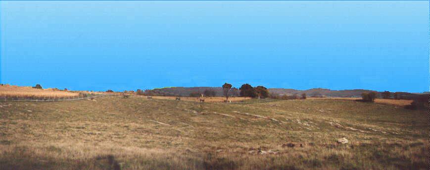
At about 12:30 PM, the confederate position in the lane collapsed, and the surviving Confederate troops crossed this ground to find new positions in Piper's Swale and behind the Hagerstown Turnpike.
Shortly thereafter, at about 1:00 PM, Cooke's two regiments retreated across this ground toward this position after having been repulsed from the Roulette farm.
At the close of the day, the 7th Maine stormed across this ground, in their fruitless effort to dislodge the Confederates from Piper's Swale.