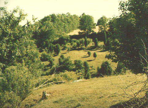
This image illustrates the extremely rugged terrain that lays between the Antietam creek and Cemetery Hill. A presumed Union advance across the Antietam bridge and up the Boonsboro Turnpike is often portrayed as an easy walk straight into Sharpsburg. Armchair tacticians fail to recognize that the ground that would be crossed - the Newcomer farm and the northern portion of the Sherrick farm - is very unfavorable for an advance. The ditch that runs across the midground of the image is part of a drainage system that empties into the Antietam just south of the middle bridge, only a few hundred yards to the left. This gully runs southeastward from the vicinity of the intersection of the Sunken Road/Hagerstown Turnpike on the Piper farm (where it is often referred to as "Piper's Swale") and cuts across the Boonsboro Turnpike just west of the present site of the Antietam picnic area. The present Maryland route 34 is so well graded that it is easy to pass over this drainage system and not even notice it. A close look at the topography, however, reveals that in 1862 this gully would have been a formidable obstacle.