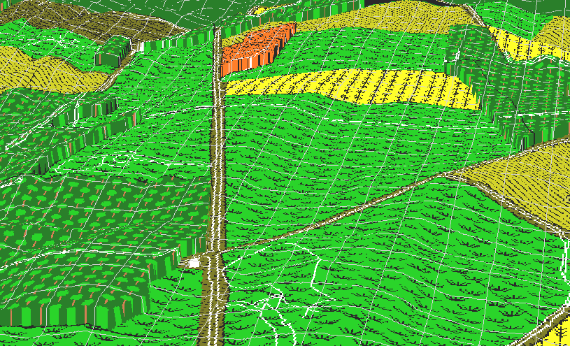
From this vantage point, the terrain over which the three Union thrusts to take the Dunker Church is visible. The view is more or less to the north. The church itself is located at the intersection of the Hagerstown Turnpike and the Smoketown Road, in the middle foreground of the image. The North Woods are just visible at the top, the East Woods on the right.
The gully that allowed Confederate troops to take Sedgwick by surprise can be seen just north of the church, cutting through the woods toward the west.
Mumma's swale, the depression east of the church and south of the Smoketown Road, provided similar cover for Union troops as they approached from that direction. Confederate troops inside the West Woods could not fire on Union troops until they crested the ridge, about 250 meters from the edge of the woods.