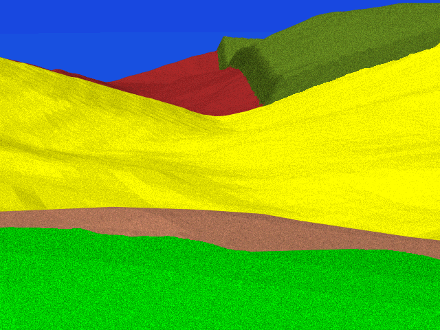

 As Richardson's first division of the II corps
crested the rise northeast of the
Sunken Road,
they came under direct fire from Confederate troops lined in the Sunken
Road.
From this location, we are standing on the forward slope of the high
ground looking southwestward into the Sunken Road,
which runs across the view.
On the other side of the road is the Piper Cornfield,
and beyond that is the Piper orchard.
From this point, we are looking into a crevice that runs down into
the deep depression known as Piper's Swale.
The Piper farm building are inside this swale,
and therefore out of line of sight.
When the Confederates were finally driven out of the Sunken Road, they retreated through Piper's orchard and took up a new position inside Piper's Swale. At about 1:00 pm, Federal troops mounted a ill-fated pursuit into the swale; after having been turned back by a near-skeletal Confederate line in Piper's swale, they were almost flanked on the high ground on the left of this image by a small force led by D.H. Hill himself.